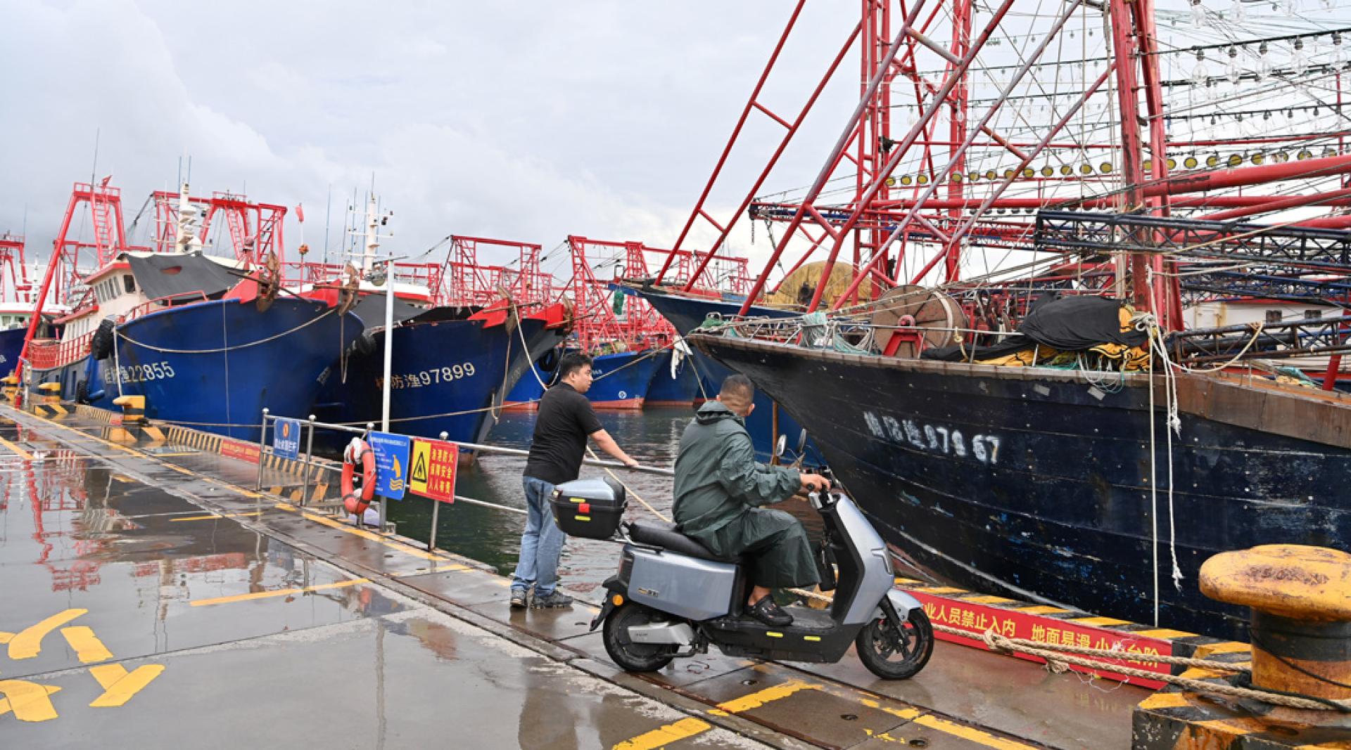
Typhoon Mesak made landfall along the coast of Hainan at 6:20 p.m. on the 3rd, becoming the first typhoon to make landfall in China this year. Experts say the typhoon will bring heavy rainfall to Hainan, Guangdong, Guangxi, and other regions.
According to Chinese media reports, from 5 p.m. on the 3rd, all flight operations at Sanya Airport were suspended; all trains entering and leaving the island via Hainan railways are halted from the 3rd to 4th; the Hainan Island Ring High-Speed Rail service has also been suspended on the 3rd.
When Typhoon Mesak made landfall along the coast of Lingshui County, Hainan Province, the maximum wind force near its center was at level 9, and the minimum central air pressure was 990 hPa. At 6 p.m., the China National Meteorological Center continued to issue a yellow typhoon alert (the warning levels from highest to lowest are red, orange, yellow, and blue).
The China National Meteorological Center predicts that from 8 p.m. on the 3rd to 8 p.m. on the 4th, there will be heavy to torrential rain in central and southern Guangxi, western Guangdong, and most of Hainan Island; among these areas, parts of southern Guangxi, the southwestern coast of Guangdong, and the southern part of Hainan Island will experience severe torrential rain, and localities in the southwestern part of Hainan Island could see extremely heavy rainfall (250 to 350 millimeters).
From 8 p.m. on the 3rd to 8 p.m. on the 4th, most of the South China Sea, Qiongzhou Strait, Beibu Gulf, Zhongsha Islands and Xisha Islands, central and western coastal Guangdong, coastal Hainan Island, and coastal Guangxi will experience winds of level 6 to 8 with gusts of level 9 to 10; in some sea areas, the wind force could reach level 9 to 10 with gusts of level 11.