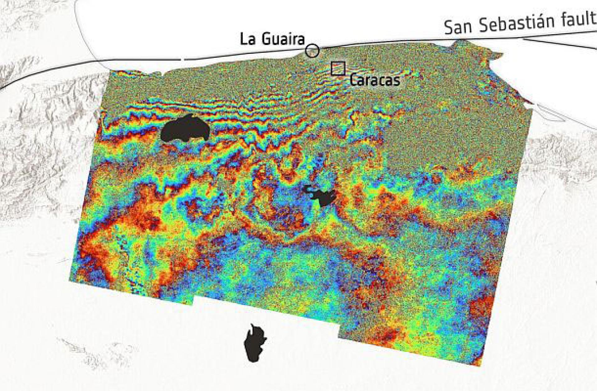
Preliminary assessments of satellite data released by the U.S. National Aeronautics and Space Administration (NASA) show that the series of powerful earthquakes that struck Venezuela last week may have caused more than 58,000 buildings to be damaged or destroyed.
NASA pointed out that its satellites are providing crucial support by capturing images and collecting data to assist on-site teams in evaluating the disaster and guiding response operations.
According to Oregon State University researchers Scheer and Hook, an analysis of satellite radar data collected on June 25 (the day after the earthquake, local time) indicates that “there are approximately 58,870 buildings in the earthquake-affected area that may have been damaged or destroyed.”
The two researchers cited data from the European Space Agency (ESA) high-resolution radar imaging satellite “Sentinel-1,” and stated, “This is only a preliminary, rapid assessment. It reflects sudden surface changes consistent with building damage.”
They noted that these data are only reference indicators and have not yet been verified on the ground.
On the other hand, the World Health Organization (WHO) has issued a warning that the risk of local outbreaks is rising continuously.
WHO stated that due to the low vaccination coverage before the earthquake and the loss of healthcare personnel, the risk of local epidemics continues to climb.
Currently, infectious diseases threatening the area include measles, diphtheria, pertussis, yellow fever, dengue fever, chikungunya, Zika virus, Oropouche virus, and malaria.