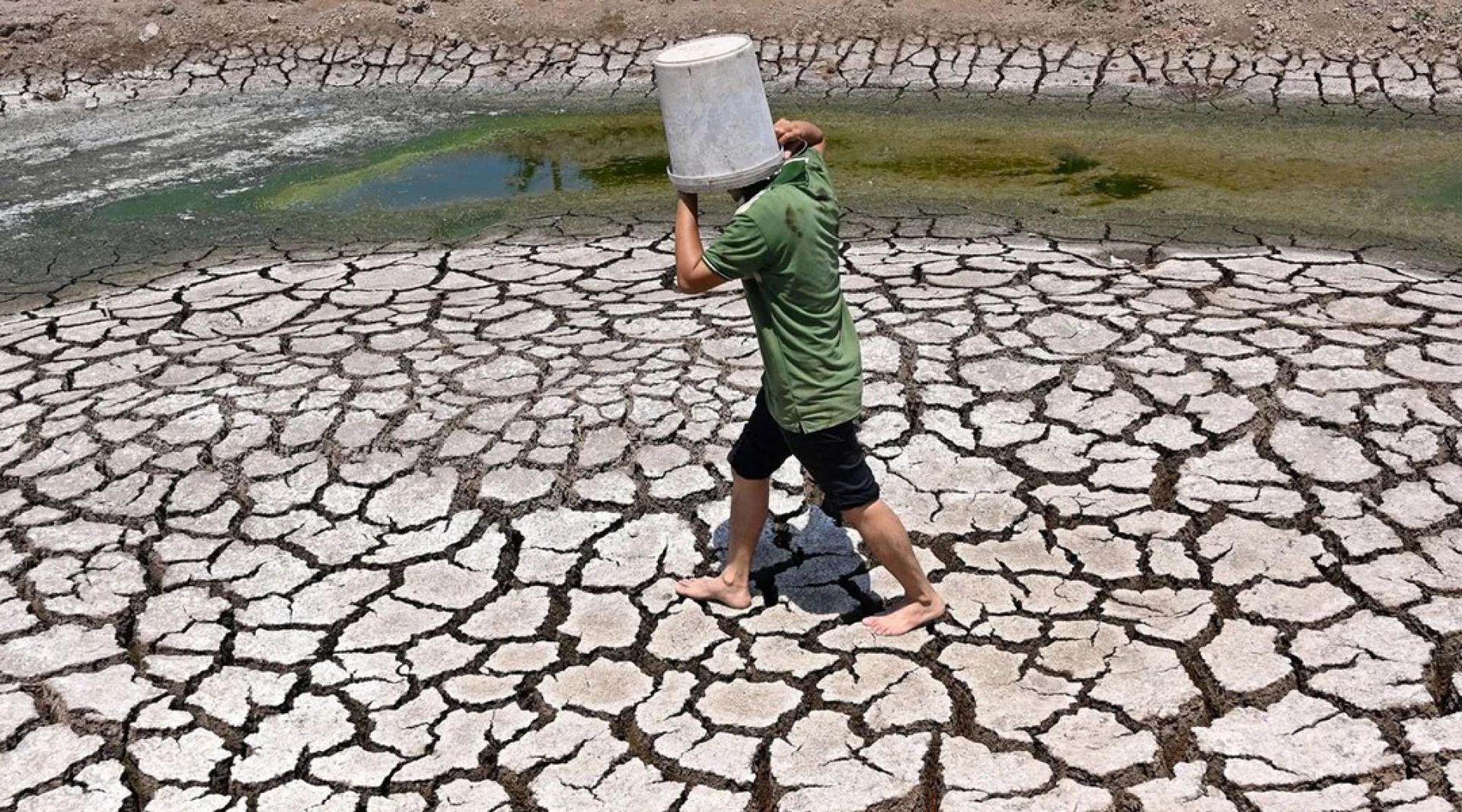
The World Meteorological Organization (WMO) issued a press release on the 3rd, pointing out that El Niño conditions have developed in the tropical Pacific region and are expected to intensify rapidly over the next few months, thereby increasing the likelihood of heatwaves, droughts, heavy rainfall, and other extreme weather events in many parts of the world.
The WMO's monthly Global Seasonal Climate Update shows that during the period from July to September 2026, El Niño conditions will quickly develop into a strong El Niño event. Multi-model ensemble forecasts from several major global prediction centers indicate that temperatures in the central and eastern equatorial Pacific will continue to rise significantly, with the seasonal average sea surface temperature in key monitoring areas expected to be more than 2 degrees Celsius above the long-term average.
The report shows that El Niño is expected to continue strengthening during the northern hemisphere autumn, with its impacts extending to many regions globally. In terms of temperature, it is highly likely that most land areas between 60 degrees south latitude and 60 degrees north latitude will see above-average temperatures, which covers almost all densely populated areas outside the polar regions. As for rainfall, there is a greater likelihood of above-normal rainfall in the central and eastern equatorial Pacific, while parts of the tropical Indian Ocean, the Indian subcontinent, and most of Australia are more likely to experience below-normal rainfall levels.
The WMO notes that the typical feature of an El Niño event is above-average sea surface temperatures in the central and eastern equatorial Pacific. It usually occurs every 2 to 7 years and lasts about 9 to 12 months. It typically begins to develop between March and June, peaks between November and the following February, and has the most significant impact on global temperatures in the year after it forms.