Japan continues to support the Philippines' post-earthquake emergency response and reconstruction efforts by providing satellite images to assist in assessing conditions in disaster-affected areas.
The Japanese Embassy in the Philippines stated on Tuesday that, starting from June 9, the Japan Aerospace Exploration Agency has been providing the Philippines with emergency observations and satellite image data of disaster-hit areas in southern Mindanao.
On June 8, a magnitude 7.8 earthquake struck the Maasim area of Sarangani Province in southern Philippines, resulting in 65 deaths and causing severe damage to buildings and infrastructure in the local and surrounding areas.
The Japanese Embassy in the Philippines stated that Japan will continue to work closely with the Philippines to support the local community in recovering from the earthquake as quickly as possible.
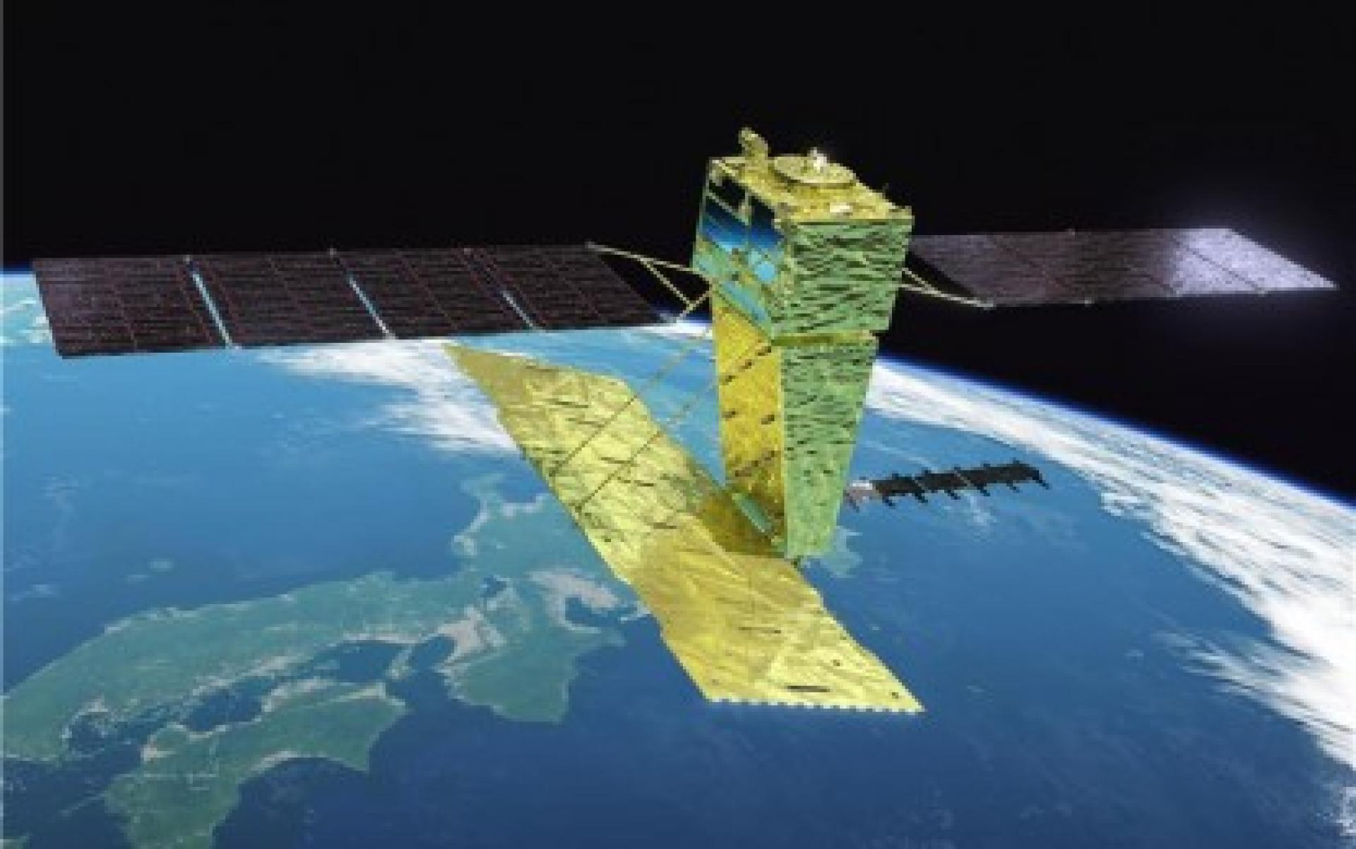
It is reported that the relevant images were taken by JAXA's Advanced Land Observing Satellites 2 and 4, and provided through the international cooperation framework “Sentinel Asia”.
Established in 2006 by the Asia-Pacific Regional Space Agency Forum, “Sentinel Asia” aims to share earth observation satellite images and data from other sources in the event of disasters, to assist countries in conducting disaster relief and damage assessment.
Currently led by Japan, with JAXA serving as the secretariat, APRSAF has 127 member organizations related to space and disaster management and serves as an important platform for disaster monitoring and emergency cooperation in the Asia-Pacific region.