The United States National Oceanic and Atmospheric Administration (NOAA) announced on the 11th that the El Niño phenomenon has formed and is expected to continue intensifying until the end of this year. Forecasts show that this fall’s El Niño could strengthen to a moderate or strong level.
When sea temperatures in the equatorial Pacific consistently remain more than 0.5 degrees Celsius above the long-term average for several months, NOAA declares that an El Niño event has formed.
The agency stated that there is currently a 63% probability that sea temperatures in the El Niño monitoring regions of the Pacific will be over 2 degrees Celsius above the average. If the threshold of 2 degrees Celsius is reached in the future, the agency will classify it as an “extremely strong El Niño” event.
Buontempo, Director of the EU Copernicus Climate Change Service, also told AFP that current signs strongly indicate that this year could see a moderate to strong El Niño, and it is even very likely to be a record-breaking historical event.
El Niño is a natural climate phenomenon that causes sea surface temperatures in the central and eastern equatorial Pacific to rise, leading to changes in global wind, pressure, and rainfall patterns. This event typically occurs every 2 to 7 years and each instance lasts about 9 to 12 months.
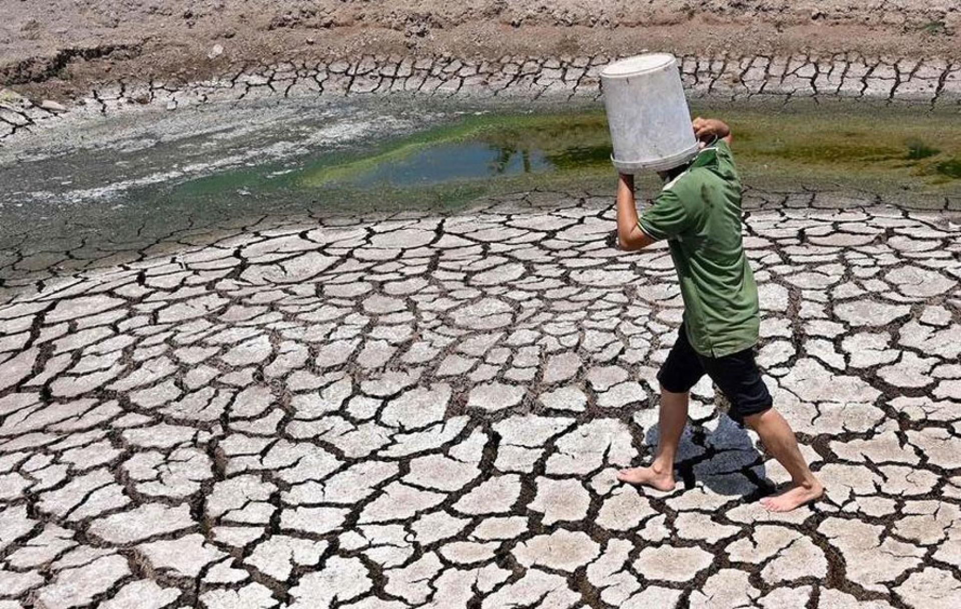
The behavior of each El Niño event varies, but major occurrences often follow similar patterns, including droughts in parts of the Amazon, Indonesia, and Australia, disruption of the Indian monsoon, and changes in rainfall patterns in tropical regions.
El Niño events usually peak at the end of the year, but the release of ocean heat into the atmosphere is relatively slow, which tends to raise global temperatures the following year.