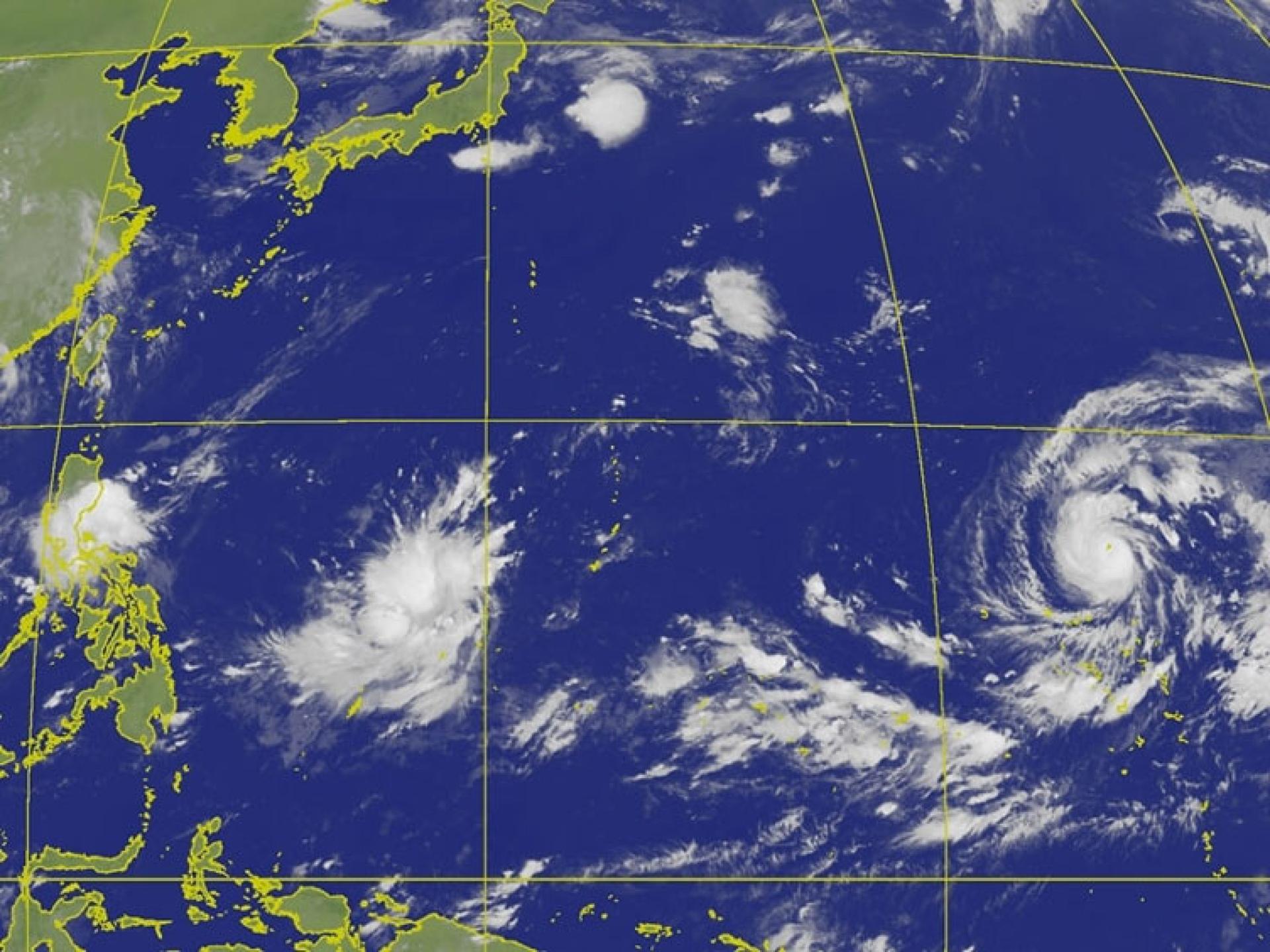
Taiwanese meteorological expert Wu Derong stated that Typhoon Beluga will strengthen into a severe typhoon, and the earliest by Thursday it has the chance to claim the title of this year's Wind King. In the next 5 days, it will approach the seas southeast of Japan.
Wu Derong, adjunct associate professor at the Department of Atmospheric Sciences, Central University, wrote in the “Secrets of the Sky Classroom” column of the Meteorological Application Promotion Foundation that Typhoon Beluga, after its formation for 36 hours, has explosively intensified to the upper limit of a medium typhoon, and is about to easily surpass the threshold of a severe typhoon. It is predicted that by tomorrow, it will strengthen to a maximum sustained wind speed of 63 meters per second, thereby having a chance to claim this year's Wind King title (the previous Wind King 'Bavi' held the record with an average wind speed of 60 meters per second).
Wu pointed out that the latest European model ensemble simulation shows that, as Beluga passes through an environment of high sea surface temperature, high ocean heat content, low vertical wind shear, and strong upper-level divergence, it will continue to intensify into a typical large and powerful typhoon of a Super El Niño year. For the next 10 days, it poses no threat to Taiwan.